Search results
Jump to navigation
Jump to search
Page title matches
 (371 × 291 (29 KB)) - 03:49, 25 March 2009
 (628 × 238 (24 KB)) - 03:57, 25 March 2009
 Map Select ...(112 × 58 (2 KB)) - 04:27, 22 April 2023
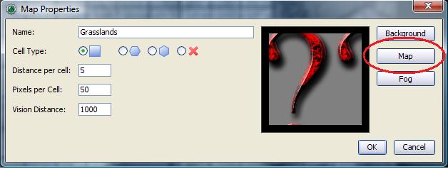 (628 × 238 (24 KB)) - 06:10, 2 October 2020
 (450 × 171 (15 KB)) - 06:10, 2 October 2020
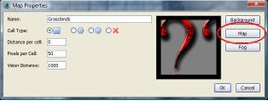 (300 × 114 (8 KB)) - 06:10, 2 October 2020
 (600 × 227 (22 KB)) - 06:10, 2 October 2020
 (240 × 91 (6 KB)) - 06:10, 2 October 2020
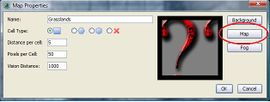 (270 × 102 (6 KB)) - 06:10, 2 October 2020
 (120 × 45 (2 KB)) - 06:10, 2 October 2020
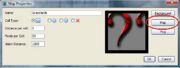 (180 × 68 (3 KB)) - 06:10, 2 October 2020
 (360 × 136 (10 KB)) - 06:10, 2 October 2020
 (120 × 94 (3 KB)) - 06:09, 2 October 2020
 (180 × 141 (7 KB)) - 06:09, 2 October 2020
 (300 × 235 (20 KB)) - 06:09, 2 October 2020
 (270 × 212 (17 KB)) - 06:09, 2 October 2020
 (360 × 282 (28 KB)) - 06:09, 2 October 2020
 (240 × 188 (13 KB)) - 06:09, 2 October 2020
 Dungeondraft map imported into MapTool. ...(1,479 × 912 (596 KB)) - 14:53, 22 April 2020
 (818 × 818 (83 KB)) - 18:40, 27 December 2019


Page text matches
 Resulting Map ...(1,489 × 1,355 (409 KB)) - 20:32, 6 January 2020
- Map Select ...(112 × 58 (2 KB)) - 04:27, 22 April 2023
- Dungeondraft map imported into MapTool. ...(1,479 × 912 (596 KB)) - 14:53, 22 April 2020
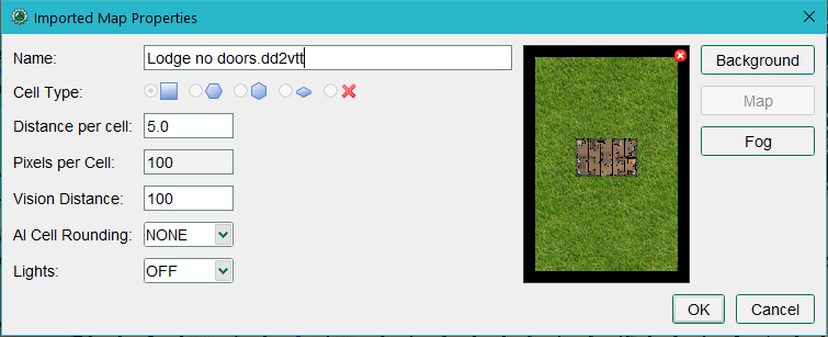 Imported Map Properties dialog. ...(755 × 307 (69 KB)) - 14:59, 22 April 2020
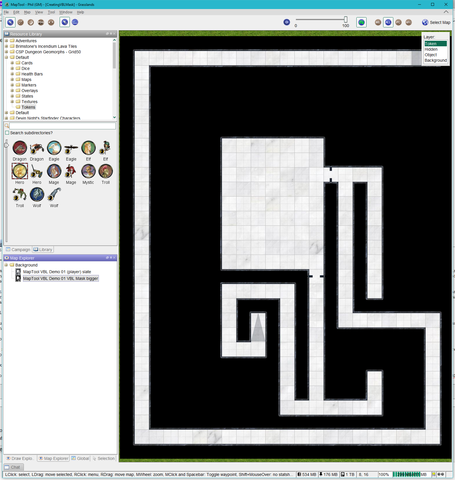 Mask and map loaded into MapTool. ...(1,564 × 1,648 (802 KB)) - 19:42, 6 January 2020
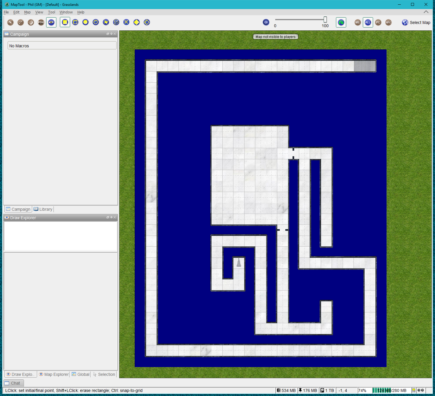 Donjon map with VBL in place. ...(1,489 × 1,355 (983 KB)) - 20:31, 6 January 2020
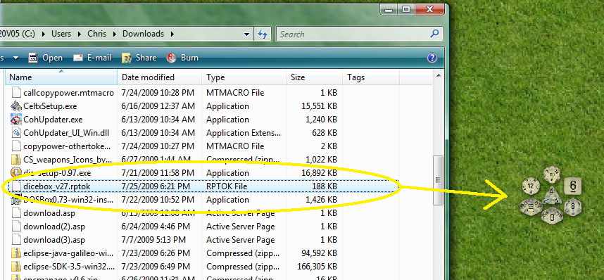 Dragging Dice Box to the map. ...(858 × 398 (190 KB)) - 22:30, 25 July 2009
 initial state after dropping map image into MapTool. ...(633 × 445 (372 KB)) - 20:17, 10 March 2021
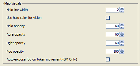 Map Visuals group Application tab. MT v1.5.7 ...(457 × 217 (8 KB)) - 15:32, 24 October 2019
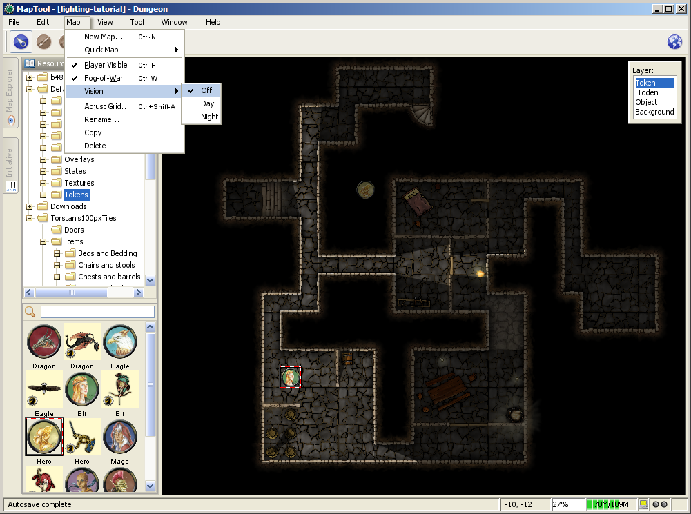 Setting the Vision mode for a Map. ...(1,001 × 745 (483 KB)) - 18:32, 7 July 2009
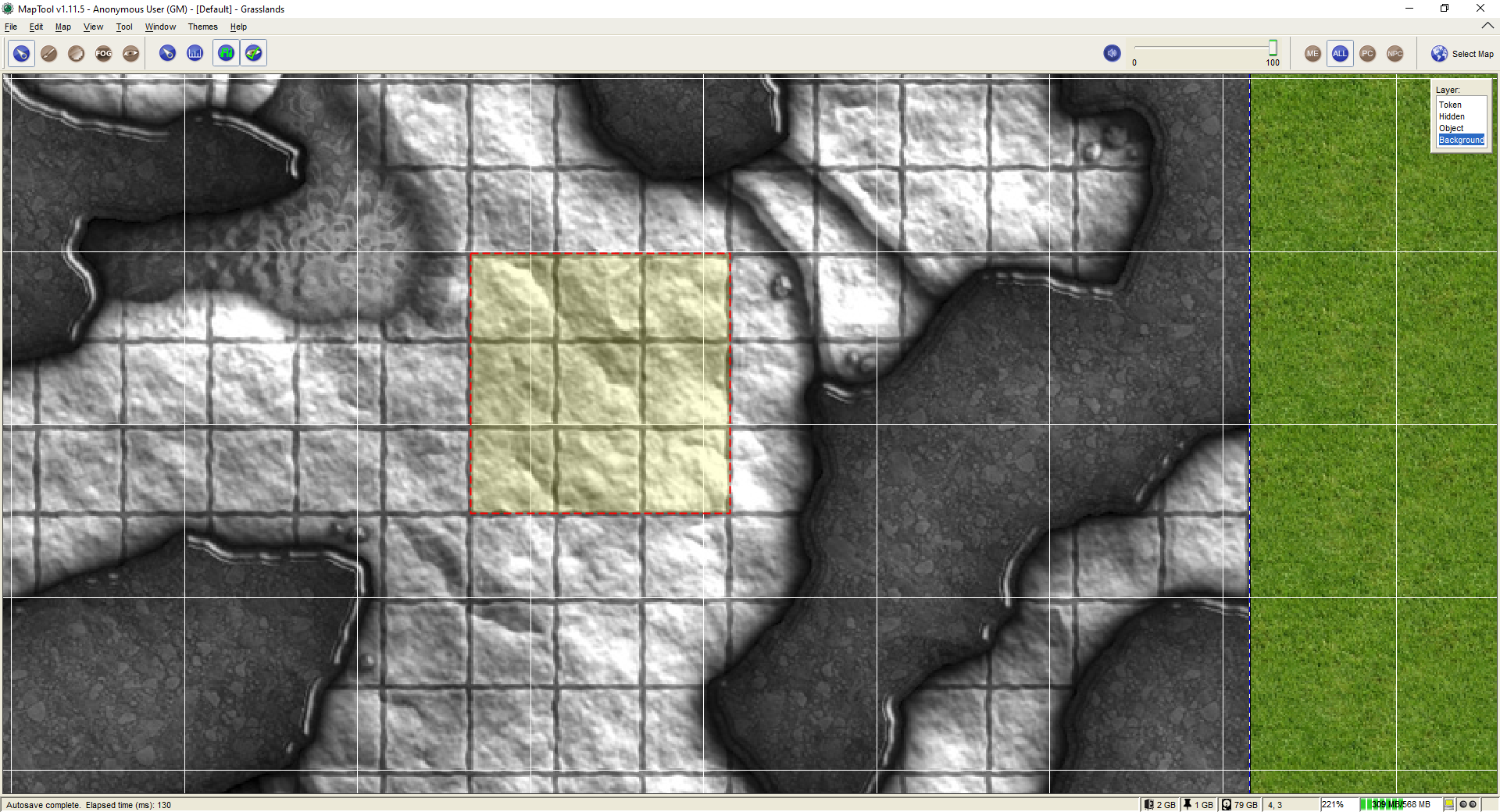 After selecting a rectangular area of the map image. ...(1,920 × 1,040 (855 KB)) - 22:14, 17 April 2023
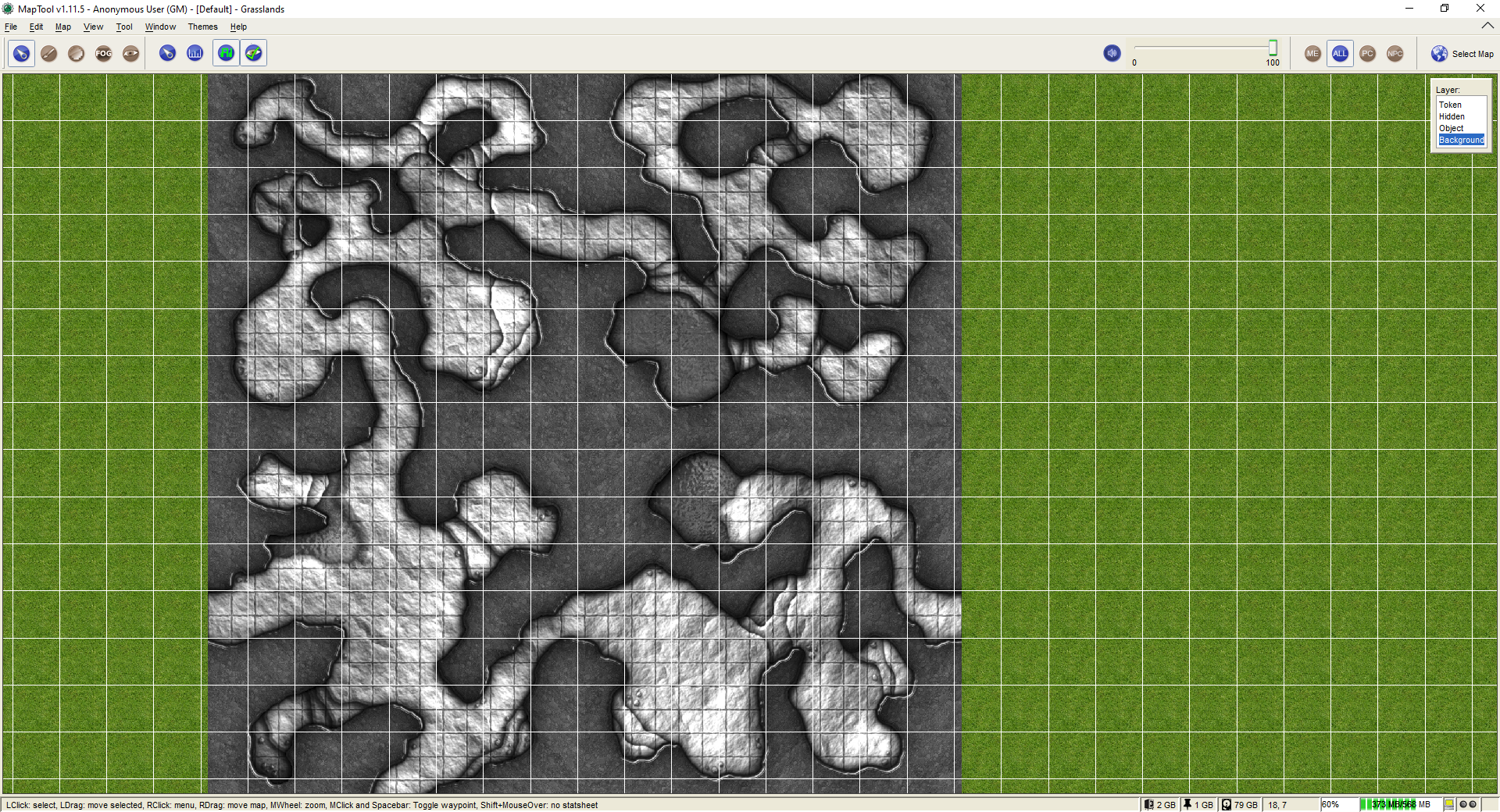 Initial state after dropping map image into MapTool. Grid and coordinates are turned on (see **View** menu). ...(1,920 × 1,040 (1.77 MB)) - 22:06, 17 April 2023
 Zoomed section of the upper right of the map image showing that the grid on the image is NOT perfectly aligned with the ...(1,594 × 995 (593 KB)) - 20:19, 10 March 2021
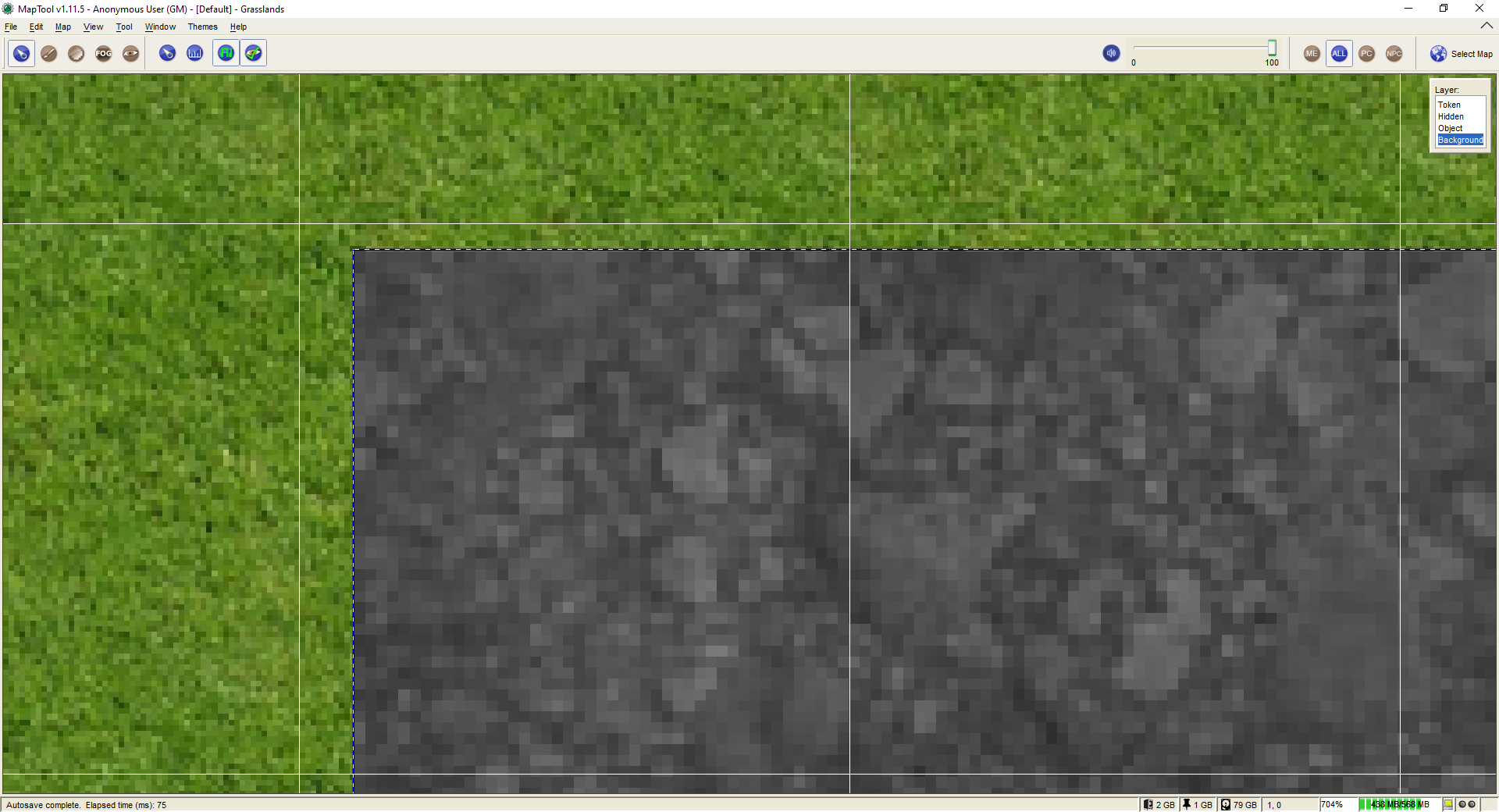 Zoomed section of the upper right of the map image showing that the grid on the image is NOT perfectly aligned with the ...(1,920 × 1,040 (480 KB)) - 22:21, 17 April 2023
 After selecting a rectangular area of the map image. (You can see that the MapTool grid is still turned on and it makes ...(1,174 × 721 (255 KB)) - 23:28, 5 June 2021


